Today I did a tour around the Reykjanes peninsula, in the very south-western part of Iceland. Most of the time I had lovely, sunny weather with chilly temparatures and a mind-blowing-away wind but at my first stop at Kleifarvatn winter suddenly arrived (but it is said, if you don’t like the Icelandic weather, wait 10 minutes – and this time it was true)… It felt so obscure driving around this peninsula as I was constantly thinking – this must be like being on the moon (exactly my thoughts when I was first time landing at Keflavik airport in 2015).
There was a prolonged period of constant volcanic activity on the Reykjanes peninsula, the Reykjanes Fires, from the 10th to the 13th century; between 1210 and 1240 about 50 square km of land were covered in lava. The area is fed by five volcanic systems; geological evidence suggests that they seem to activate in a coordinated way about every 1,000 years. In the twelve weeks from 21 January 2020, after centuries of relative inactivity, there were more than 8,000 earthquakes and about 10 cm of land uplift due to underground magma intrusions on the peninsula – leading to concerns of a new phase of activity which could cause disruption for centuries.
First stop was at Kleifarvatn. It’s the largest lake on the Reykjanes peninsula and located on the fissure zone of the Mid-Atlantic ridge. The lake has no visible water coming in or going out as most of its water comes and leaves underground.
Nearby is the multi-colored geothermal high temperature area Seltún with lots of (stinking) steam and bubbling springs – due to many solfataras, fumaroles, mud pots and hot springs.
Not far from Seltún lies the Grænavatn (Greenlake). The lake is a volcanic crater that got its name from its unusual green color. The color is due to a high level of sulphur in the water and its depth. Unfortunately, the light was not good enough today to catch the green color.
Gunnuhver lies quite far in the west of the peninsula and is the central high temparature area of the volcanic system on Reykjanes. The energy of the volcanic system is used in the geothermal power station Suðurnes. There is a myth of the ghost Gunna who played tricks on the people until the priest banned her in an hot spring whose name became Gunna.
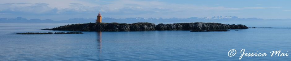
The Reykjanesviti (lighthouse) stands close to the Atlantshafshryggurinn (Mid-Atlantic ridge). Valahnúkamöl is a mountain, lava and rock formation directly located on the Mid-Atlantic ridge and its shapes were formed by powerful storms, high waves and ponding surf. Here I felt the most like being on the moon, deserted lava fields and minimal vegetation.
The Bridge between the continents is a small footbridge over a major fissure which provides clear evidence of the presence of a diverging plate margin. The diversion of the plates is 2 cm per year. The bridge was built as a symbol for the connection between Europe and North America.